
In the vast expanse of the world’s oceans, where ships traverse isolated and sometimes perilous routes, one technological innovation stands as a beacon of safety and efficiency: the Automatic Identification System (AIS). This article serves as a comprehensive guide to understanding AIS, its importance in the maritime industry, and how it revolutionizes safety and navigation on the high seas.
What is AIS?
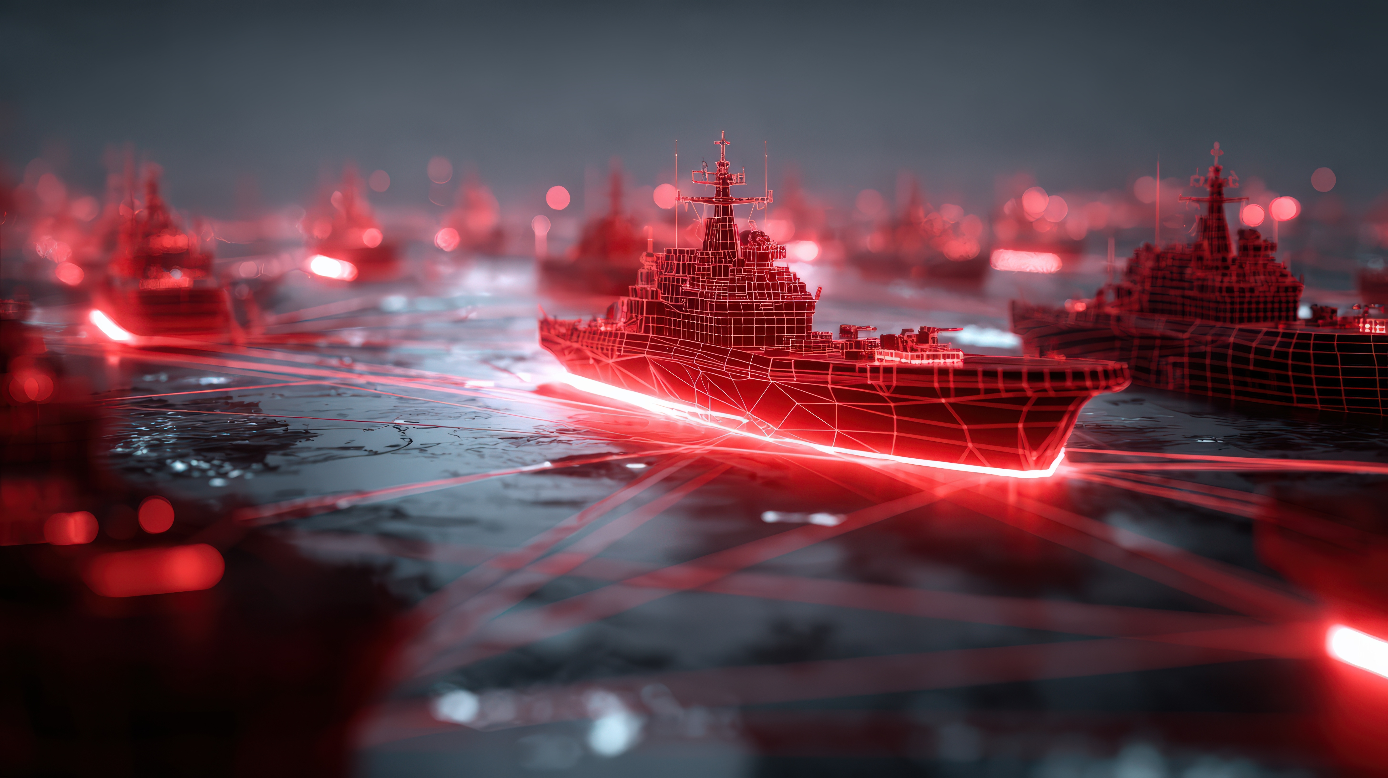
AIS is a tracking system used on ships and by vessel traffic services (VTS) for identifying and locating vessels by electronically exchanging data with other nearby ships, VTS, and AIS base stations. The system provides vital information, including the vessel’s identity, type, position, course, speed, and other navigational data, at regular intervals through a standardized radio transmission.

The Origins and Evolution of AIS
Tracing back to the 1990s, the development of AIS was primarily driven by the need for improved maritime safety. The International Maritime Organization (IMO), recognizing the potential of AIS to prevent collisions and facilitate traffic management, made it a mandatory requirement for all international voyaging ships of 300 gross tonnage and upwards, as well as all passenger ships regardless of size, to be equipped with AIS.
How AIS Works: A Technical Overview
At its core, AIS operates through a combination of GPS (Global Positioning System), VHF (Very High Frequency) radio communications, and digital processing. Each AIS-equipped vessel broadcasts information at regular intervals to other ships and AIS base stations within VHF range. This data, which includes static information (e.g., vessel’s name, MMSI number), dynamic information (e.g., position, course over ground, speed over ground), and voyage-related information (e.g., destination, estimated time of arrival), enhances maritime situational awareness and aids in collision avoidance.
To understand how AIS (Automatic Identification System) works, let’s use a simple analogy from everyday life. Imagine you’re in a crowded market, and everyone is wearing a name tag that not only shows their name but also where they are from, what they are looking for, and where they are heading next. Now, imagine everyone also has a small device that reads these name tags automatically when someone comes within a certain distance. This device not only reads the information but also shares your information with others. It’s a two-way communication tool that keeps everyone informed about each other’s presence, intentions, and movements.
Translating this into the maritime world, AIS works similarly for ships at sea. Each vessel equipped with AIS is like a person in the market, wearing a “digital name tag”. This digital tag contains vital information about the ship, such as its identity (name, size, type), position (latitude and longitude), course (where it’s heading), and speed. The AIS device on a ship broadcasts this information at regular intervals via VHF radio frequencies. At the same time, it receives similar information from other ships within its vicinity.

The Impact of AIS on Maritime Safety and Navigation
The introduction of AIS has had a profound impact on maritime safety and efficiency. By providing accurate, real-time data on vessel movements, AIS helps in:
- Collision Avoidance: AIS allows ships to see each other in real-time, even in conditions of poor visibility, thereby significantly reducing the risk of collisions.
- Traffic Management: Vessel traffic services utilize AIS data to monitor and manage vessel traffic, ensuring safe and efficient navigation through busy channels and waterways.
- Search and Rescue Operations: In the event of a maritime accident, AIS data can be invaluable in locating distressed vessels quickly, enhancing the effectiveness of search and rescue efforts.

The Future of AIS
The future of AIS lies in its integration with other maritime technologies, such as satellite communication and advanced analytics, to enhance global tracking capabilities and provide deeper insights into maritime operations. Innovations such as the development of AIS satellites enable the tracking of vessels across the globe, even in the most remote areas.
The Automatic Identification System has undeniably transformed maritime operations, making the seas safer and navigation more efficient. As technology evolves, the potential of AIS to contribute even more significantly to maritime safety, security, and environmental protection is immense.
TRADLINX Ocean Visibility revolutionizes supply chain operations with its Ocean Visibility features, offering real-time shipment tracking, predictive analytics for lead times, and seamless management tools for freight forwarders and shippers worldwide.


Leave a Reply